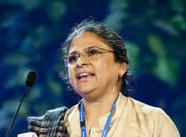
Sheela Patel – The Federation Model of Community Organizing (Slum Dwellers International)
In the past two decades through a process called “Enumeration” through which the members collect at city level data about slums, Slum Dwellers International…
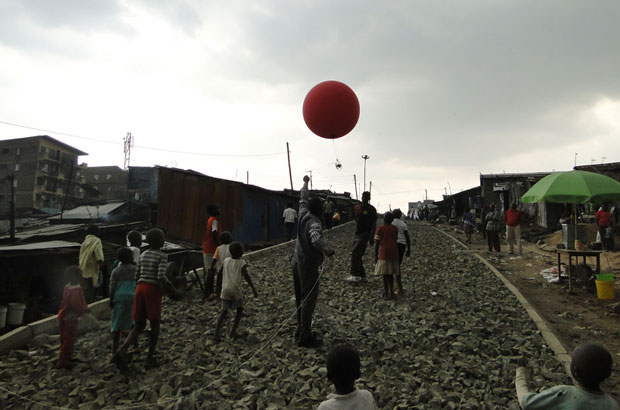
Mapping for Food Safety in Nairobi
How and why communities in Nairobi’s informal settlements are creating and using maps to ensure their food and the people who sell it are…
China’s Cloud: a Milestone in Urban Technology Innovation
The flight marks a major milestone in urban space technology. Luan Lin, chief technology officer of KuangChi Science, said that the system can be widely used in geographical surveying, traffic and wildfire monitoring, natural disasters and rescue missions.
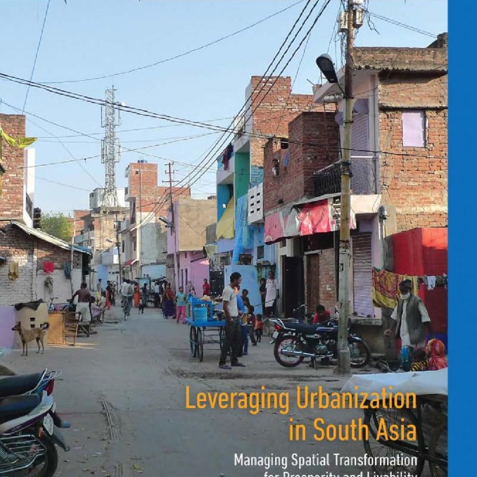
Leveraging Urbanization in South Asia | World Bank Report
“The number of people in South Asia’s cities rose by 130 million between 2000 and 2011–more than the entire population of Japan. This was…
Urban Center for Computation and Data
the Urban Center for Computation and Data (UrbanCCD) was created in 2012 within the Computation Institute, a joint initiative of the University of Chicago…
Civic Data Lab
The Civic Data Design Lab works with data to understand it for public good.We seek to develop alternative practices which can make the work…
Institute for Humanities and Social Sciences (INSHS)
Research carried out in the laboratories run by the CNRS Institute for Humanities and Social Sciences (INSHS) helps to build the essential theories and analytical…
National Institute for Regional and Spatial Analysis (NIRSA)
NIRSA, established in 2001 and centered in Maynooth University, is a collaborative partnership of scholars from a number of social science disciplines located in four…
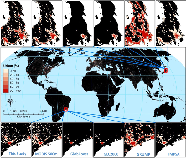
Nighttime View of Earth Reveals Size of Urban Sprawl
The PNNL team working at the Joint Global Change Research Institute (JGCRI), in collaboration with University of Maryland, the National Oceanic and Atmospheric Administration…
Can geospatial technology lead to a development ‘data revolution’?
The ability to map data has become essential for urban researchers and city managers worldwide. Geospatial technology, as this tool is known, was in…

